
What is the best way to create the most detailed distance layers to use as a variable in the LCM? I have been using the Euclidean distance tool in GIS.
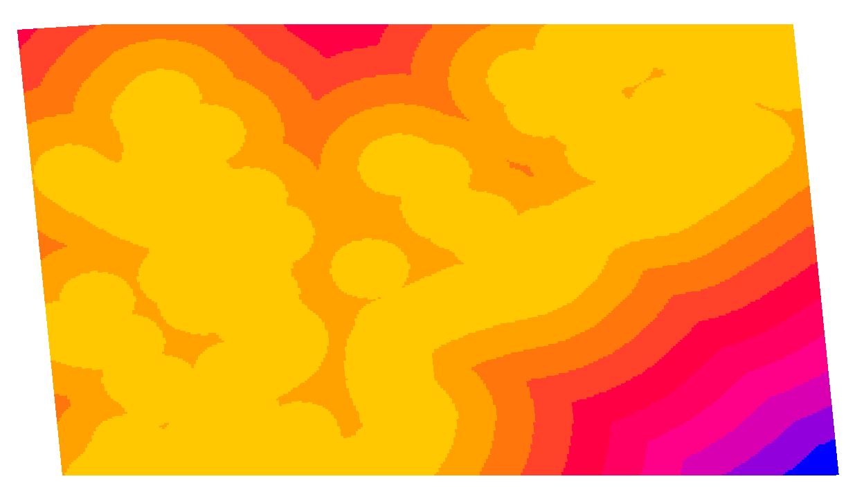
However, when I referred to the distance layers in the LCM tutorial, they seemed a lot more detailed compared to mine.
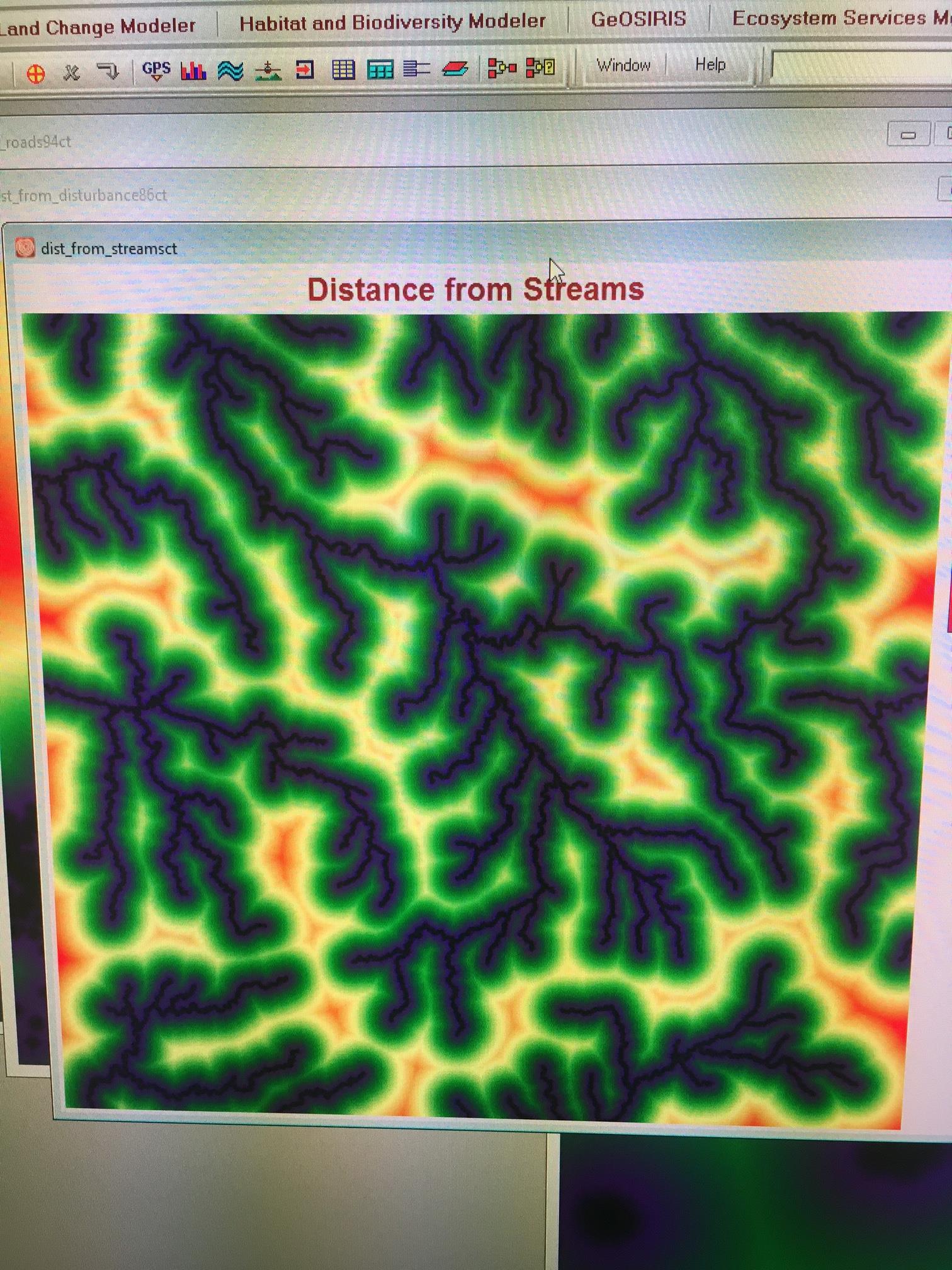
Any ideas for how IDRISI created their distance layers?